Characterization Tool Selection
 The Tool Selection Worksheet offers a rapid method of identifying the appropriate tools and information for collecting geologic, hydrologic, and chemical data. Specific tools and techniques are listed in the following categories within the left column of the Tool Selection Worksheet:
- Geophysics
- surface geophysics
- downhole testing
- Hydraulic testing
- single well tests
- cross borehole testing
- Vapor and soil gas sampling
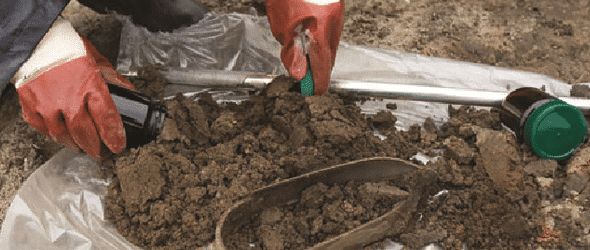
- Solid media sampling and analysis methods
- solid media sampling methods
- solid media evaluation and testing methods
- Direct-push logging (in situ)
- Groundwater sampling
- discrete groundwater sampling
- multilevel sampling
- DNAPL presence
- Chemical screening
- Environmental molecular diagnostics
- microbial diagnostics
- stable isotope and environmental tracers tests
- On-site analytical techniques
In each type of subsurface terrain, there are physical features that may control the behavior of DNAPL or soluble or gaseous phases of DNAPL contaminants. Geologic parameter helps in understanding the macroscopic and microscopic characteristics of the subsurface that affect the transport of all phases of contaminants (NAPL, dissolved, sorbed, and gaseous). Each geologic parameter informs the physical framework of the conceptual site model (CSM) that controls the hydrologic characteristics of the subsurface. Analyzing the physical framework of the subsurface against the measured hydrologic properties of flow in the subsurface helps in understanding contaminant migration and distribution and in further refining and verifying the CSM. The geology, hydrology, and chemistry should be evaluated simultaneously and interpreted collectively.
As described in Integrated Site Characterization, the objective of evaluation and interpretation of site characterization data is to gain a clear understanding of past, present, and potential future environmental conditions at a site. Through integration of all of the data types (geologic, hydrologic, and chemical), collaborative data sets can be generated. This multiple-lines-of-evidence approach enables the CSM to provide a clearer description of contaminant transport, storage, and attenuation.
Geologic Conditions
Typical approaches to evaluating geologic data include preparation of cross sections, fence diagrams, or three-dimensional representations across a site. Contour maps of relevant geologic surface elevations (isopach maps) are also helpful for many sites.
Hydrogeologic Conditions
Hydrogeologic data support calculation of average linear groundwater velocity, groundwater volumetric flow, chemical travel time, mass flux, and mass discharge. These site-specific determinations must fit into the regional geologic setting to validate the hydraulic conditions against the physical factors in the subsurface. Examples of hydrogeologic characteristics relevant to a DNAPL site investigation include the following:
- horizontal and vertical hydraulic conductivity of hydrostratigraphic units relevant to the transmission of groundwater, vapor, or DNAPL flow
- spatial and temporal (for example, seasonal, production well pumping intervals) variations in the hydraulic gradients, flow rate, and direction
- minimum and maximum water table elevations
- groundwater/surface water interface and springs
- capillary zone thickness
- vertical water saturation profile in the unsaturated zone (which influences the amount of pore space available for vapor transport
- surface cover (soils) conditions (relevant to vapor transport)
Chemistry
A variety of analyses may be conducted using chemical data collected during investigation of a DNAPL site:
- the composition of DNAPL source zone(s)
- historical concentration vs. time.
- Potential and confirmed NAPL source zones
- The source strength (that is, mass discharge) downgradient of a source zone
- The 14-compartment model
- The distribution of physical characteristics
- Biogeochemical conditions


